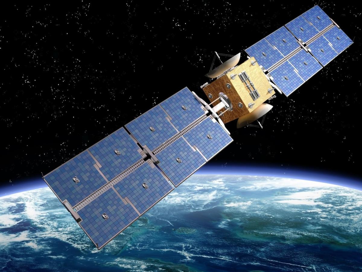
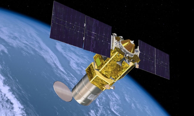
ISRO Satellites Overview

Since the early 1970s, ISRO has developed a robust and versatile satellite program spanning communications, Earth observation, navigation, astronomy, and scientific research.
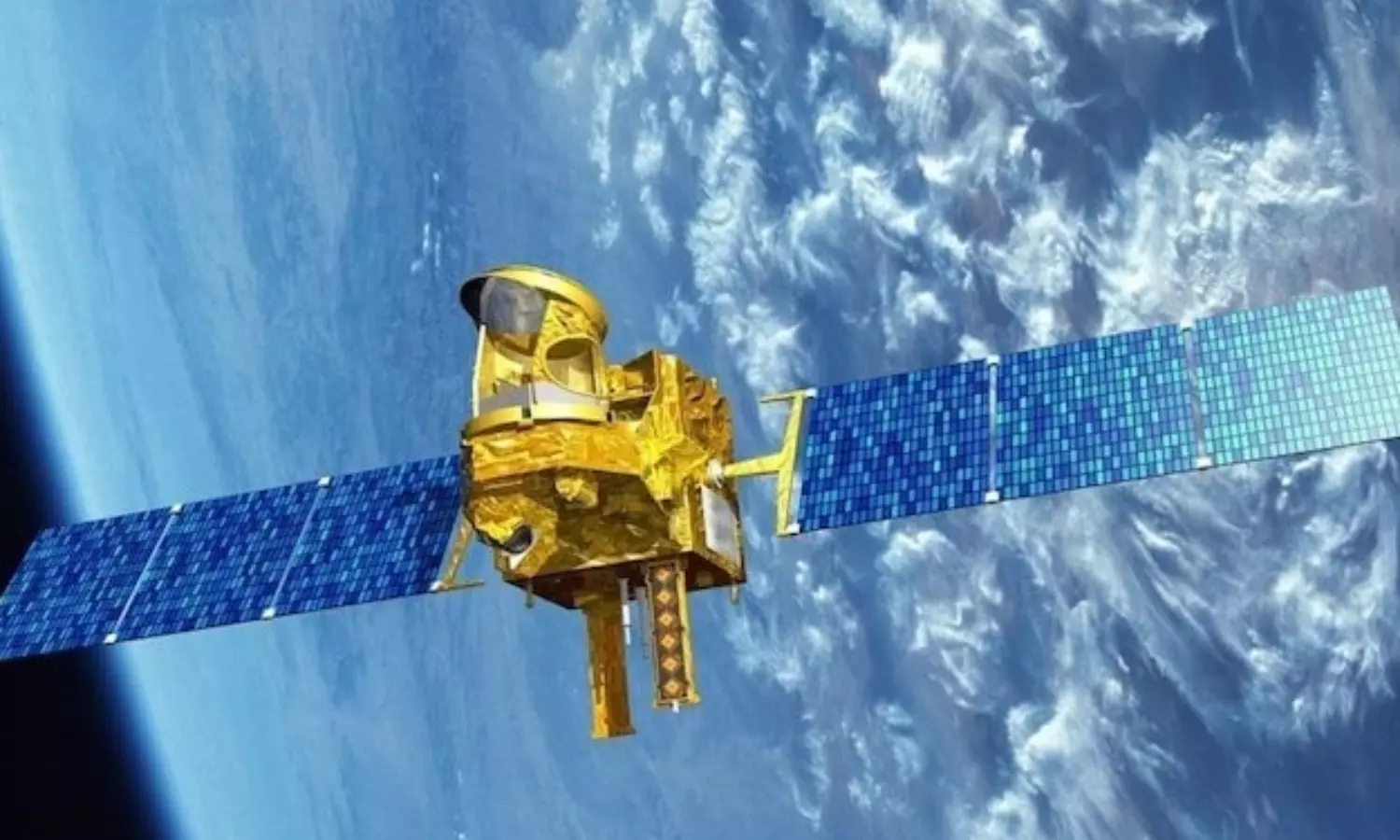
GSAT Series

GSAT Series

  • Geostationary communication satellites launched from 2001 onwards.
  • Support India's telecommunication, broadcasting, and broadband via INSAT network.
  • Include satellites like GSAT-6A (mobile communications), GSAT-19 (Ka-band), and high-throughput GSAT-20.

RISAT Series

  • Radar Imaging Satellites (RISAT) offering high-resolution surveillance irrespective of weather or lighting conditions.
  • Programs like RISAT-1, RISAT-2BR2 contribute to surveillance, agriculture, and disaster management.
RISAT Satellite
Cartosat Series

Cartosat Series

  • Cartographic satellites providing high-resolution soil mapping and cartographic services.
  • Used for urban planning, infrastructure development, and land use mapping.

Navigation Satellites (IRNSS/NavIC)

  • India's Regional Navigation Satellite System offering position accuracy within 10 meters.
  • Includes satellites IRNSS-1A to 1I, forming an independent navigation system.
NavIC / IRNSS
Scientific Satellites

Scientific & Research Satellites

  • AstroSat: Multi-wavelength observatory.
  • INSAT Series: Meteorological and communication satellites.
  • SCATSAT: Ocean wind monitoring for weather forecasting.